Elevation 1550 ft. Ellsworth County Seat
64 miles from Abileen, Vern and Letha entered town looking for lunch, which they found at cont. below
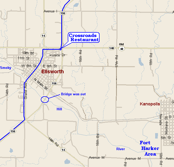
the Crossroads
Restaurant. It was a typical U.S. country restaurant with good food, serving
the local workers with lunch. The bridge over the Smoky Hill River
was being reconstructed so they had to detour through town, not really
out of the way. They continued their trip to Hutchinson, first passing
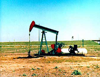
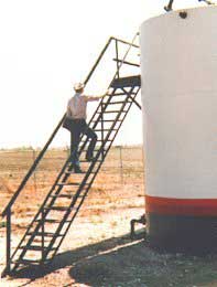
through country that had several oil wells, the only ones seen on the whole
trip and on to Lyons,
The town and county was named after Fort Ellsworth, a military post built on the bank of the Smoky Hill, in 1864 at the point where the Santa Fe stage route crossed the river, about 3-4 miles southeast of the present town of Ellsworth. This fort was so called by General Curtis, in honor of the officer who constructed it, Allen Ellsworth, Second Lieutenant of Company H, Seventh Iowa Cavalry. It was designated as Fort Harker 11 November 1866 for Brigadier General Charles G. Harker, killed on 27 June 1864 in the Battle of Kenesaw Mountain. In January 1867, the post was moved one mile northeast of Fort Harker #1 to the site of the present town of Kanopolis. |
Go To Kansas Map